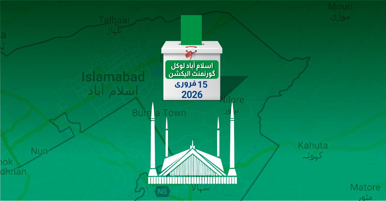
For the upcoming local government (LG) elections in Islamabad Capital Territory (ICT), the Election Commission of Pakistan (ECP) has delimited the city into 125 union councils (UC) comprising 1,125 general wards, as provided under the ICT Local Government Act (ICTLGA) 2015.
This is a significant restructuring since the 2015 elections, when the city was divided into only 50 UCs. Since the expiry of the last local government term, the ECP has carried out five rounds of delimitation due to recurring administrative and legal changes.
Instead of naming individual UCs, the final list numbers them sequentially and defines the geographical boundaries of each.
This exclusive FAFEN report explains the delimitation process and how different parts of Islamabad have been allocated union councils.
Read the process of local government elections under ICTLGA
How does the delimitation process work?
Under Section 6(3) of the ICTLGA 2015, the responsibility for delimiting UCs and wards rests exclusively with the ECP. The process follows delimitation principles laid down in the Elections Act, including population distribution, geographical compactness, physical features, administrative boundaries, communication linkages, and public convenience.
Section 7 of the ICTLGA defines a union council as an area comprising one or more revenue estates or census villages, or in the case of urban areas, census blocks. A ward within a union council may consist of one or more adjoining census blocks. The law also emphasizes maintaining population balance across wards in a UC and prohibits any revision of delimitation once an election schedule is notified.
Where do Islamabad’s affluent sectors fall?
The demarcation of union councils begins in the northeastern side of ICT, just below Margalla Hills National Park, and then proceeds in a clockwise direction in a zig-zag manner, as provided under the Election Rules, 2017.
The first union council comprises Gokina, Talhar, and Saidpur villages. The city’s upscale residential sectors E-7, F-7, and F-8 along Margalla Road form UC-2, while F-6 has been assigned its own UC-3.
A mix of high-security zones and informal settlements, including F-5, G-5, the Diplomatic Area, Pakistan Secretariat, Prime Minister’s Colony, and katchi abadi of Muslim Colony, together comprise UC-4.
On the western end of Margalla Road, sectors F-10 and F-11 each form a full union council (UC-119 and UC-122). Armed forces sectors, including E-8 (Naval HQ), E-9 (Air HQ), and E-10 (Defence Complex Islamabad), are distributed across the last three UCs (UC-123 to 125).
Where do downtown sectors fall?
The downtown Islamabad has been subdivided into several union councils:
- G-6 sector is split into UC-74 and 75.
- G-7 sector into UC-76 to 78.
- G-8 sector into UC-79 and 80.
- G-9 sector into UC-81 to 83.
- G-10 and G-11 sectors into two UCs each (UC-84 to 87).
Sectors H-8 and H-9 have been grouped with part of I-8 to form UC-88, while the rest of I-8 lies in UC-89. Sectors I-9 (UC-90) and G-13 (UC-96) remain intact as single union councils, whereas I-10 is split into three (UC-91 to 93). Sector I-11 has been combined with H-11 and H-12.
Where do housing societies along the Islamabad Expressway fall?
Islamabad’s major private housing developments along the Expressway, from Faizabad to the GT Road, are spread across 19 union councils (UC-32 to 50). These include Bahria Town, DHA, Gulberg Greens, CBR Town, Jinnah Garden, PWD, Soan Garden, and several others.
How have peripheral suburban and rural settlements been accommodated?
Large rural clusters make up a significant portion of Islamabad’s territorial layout.
To the northeast, areas such as Nurpur Shahan (Bari Imam), Bharakahu, Bani Gala, Uthal, Begwal, Malot, Phulgran, and Shahpur form 15 union councils (UC-6 to 20).
On the southeastern edge, Tumair, Bahria Enclave, Thanda Pani, Chirah, Sihala, and Rawat form 11 union councils (UC-21 to 31).
Between these belts lie dense semi-urban localities, including Alipur, Tarlai Kalan, Koral, Khanna, Sohan, Ojhri Khurd, Ojhri Kalan, Taramari, Chatha Bakhtawar, and Margalla Town, grouped into 23 UCs (UC-51 to 73).
In the western belt, the peripheral rural areas such Tarnol, Sarai Kharbooza, Golra, G-12, and urban sectors like D-12, D-15, D-16, D-17, C-16, C-17, and B-17 have been divided into 22 union councils (UC-97 to 118).